Timetables from 24th March 2024 to 6th October 2024.
Below you can find info:
- about digital maps, timetables (PDF), timetables on-line,
- for crossing Lake Maggiore by boat or by car ferry with your own bike,
- for cycling Lake Maggiore and surrounding.
The navigation on Lake Maggiore is run by two companies:
-
the Italian company Navigazionelaghi (in the Italian area)
-
the Swiss company Lakelocarno (in the Swiss area)
Digital maps and timetables
Digital maps of Lake Maggiore
Map online
Map PDF
Timetables (PDF) from 24th March 2024 to 6th October 2024
-
Boats (PDF) - Arona-Locarno / Locarno-Arona
-
from Carciano to Isola Bella (PDF)
-
Car Ferry (PDF) - Intra-Laveno-Intra
-
from Locarno to Brissago (PDF) - (Swiss area)
Timetables online:
Timetable online - Navigazionelaghi.it (only Italian area)
Timetable online - Lakelocarno.com (only Swiss area)
Once at the lake, there is a boat service taking you around all the beautiful towns and villages on the Lake Maggiore. Boats are frequent but the timetable does change depending on the time of year. Each local tourist information office will be able to give holiday makers a copy of the timetable and provide you with any additional travel information.
Scheduled services up, down and across the lake are run by Navigazione Lago Maggiore.
You can cross Lake Maggiore and visit the Borromean Islands (Isola Bella, Isola dei Pescatori, Isola Madre) by motorship or by car ferry with your own bike. Expecially in the spring/summer period are garanteed frequent connections among the villages and towns on the shores of the lake.
The transport of vehicles and bikes is always garanteed for crossing the lake by car ferry between Intra (West) and Laveno (East). While it's a little bit different by boat.
Crossing Lake Maggiore with your bike
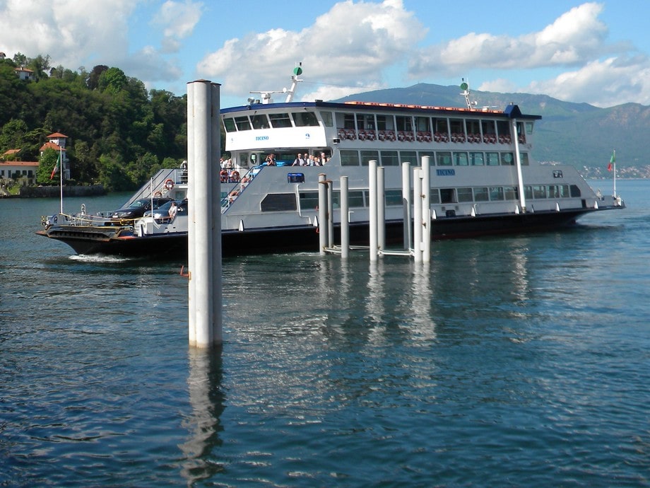
You can use of the car ferry between Intra and Laveno . The car ferries have plenty of space for bikes. No problems for the bikes. The car ferry starts every 20 minutes. It takes 30 minutes to cross between Intra and Laveno.
On the the other boats there’s a limited amount of deck space.
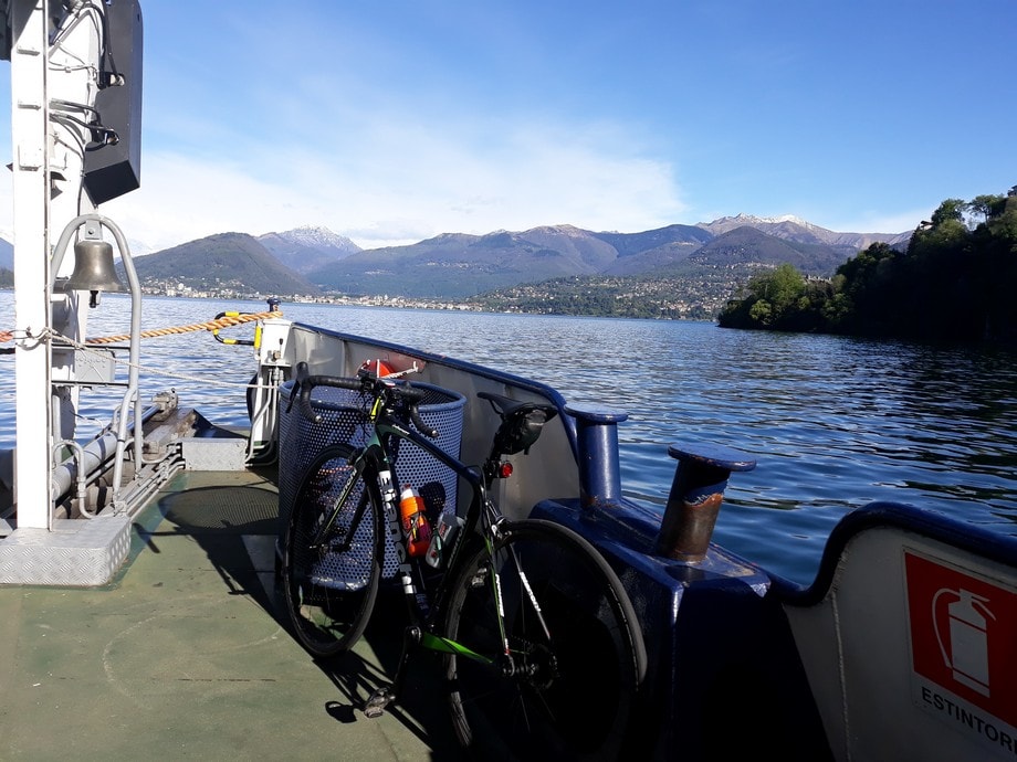
Generally this should be fine unless you’re planning to travel in a big group. Maximum 4 or 5 bikes should be fine. Anyway you must first ask permission before getting on. There aren't rules: the capitan decides. I mean it depends on the weather, on wind, on how many people are on the boat and so on.
It's better to cross the lake by bike early in the morning, so you don't have problems because the boats are not crowded.
Cycling Lake Maggiore and surrounding
Resources for the travelling cyclists who want to explore the lake, the mountains and the valleys: bike maps, routes, road cycling climbs:
-
Cycling all around Lake Maggiore
-
Cycling the upper Lake Maggiore
What's Lake Maggiore like
Lake Maggiore is Italy’s second largest lake and set against the resplendent backdrop of the Monte Rosa Massif. The lake road typically wider than around Lake Como, and quieter than Lake Garda. Lake Maggiore has tectonic-glacial origins. The lake has a surface area of about 213 square kilometres (82 sqare mi), a maximum length of 66 km. (41 mi.) on a straight line and, at its widest, is 12 km. (7 mi.). Max depth 370 m. (1,214 feet). Average depth 175 m. (574 feet). Lake circumference 170 km. (105 mi.) The lake looks to West towards Piedmont, to East towards Lombardy penetrating into Switzerland to the North.
Tourist Information about Lake Maggiore
To help you make the most of your stay on Lake Maggiore we have put together guides, packed full of information about:
-
tourist attractions to see during your cycling holiday in Northern Italy's Lake District,
-
Itineraries on Lake Maggiore (PDF) (from page 21 till page 47),
 Go back to resources